AQUASTAT - FAO's Information System on Water and Agriculture
AQUAMAPS
Global spatial database on water and agriculture
AQUAMAPS is the online geospatial database on water and agriculture developed by AQUASTAT. It makes accessible through a simple interface regional and global spatial datasets on water resources and water management, considered as a standard information resource produced by FAO or by external data providers.
AQUAMAPS is complementary to AQUASTAT. While AQUASTAT focuses on collecting statistical data and qualitative information, AQUAMAPS concentrates on geographical information. For most of the datasets that have been generated by spatial modeling, AQUASTAT information has been used to calibrate and validate the model results.
Through AQUAMAPS, users can query, explore, and download the spatial information in commonly used GIS format. AQUAMAPS builds on the FAO GeoNetwork catalogue from which it retrieves data and metadata.
The collection of dataset is organized by themes:
- River and water bodies: regional hydrographic networks derived from Hydrosheds
- Irrigation and infrastructures: area equipped for irrigation, dams
- Hydrological basins: global and regional layers of hydrological basins derived from Hydrosheds
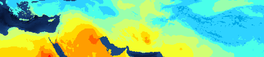
- Climate: Monthly grids of precipitation and reference evapotranspiration
- Models: output grid of FAO global soil water balance model (GlobWat), including modeled actual evapotranspiration, runoff and infiltration
- Analyses: examples of global analyses performed on the basis of the above mentioned dataset.
Click on AQUAMAPS to access the data
FAO Departments and Offices
Follow us on


Download our app

